

Yes, You can use the built-in Mission Planner in the Autel EVO II Explorer app to create and execute your missions. The way-point setup on the EVO II mission planner is perfect for professional mapping, although this mission planner is nowhere near the capabilities of Pix4D capture, however, it's been working great in a lot of our testing and demoing.

Autel EVO II Pro Mapping - picture provided by customer

Autel EVO II Pro Mapping - picture provided by customer
Autel EVO 2 use both GPS and GLONASS so the quadcopter connects to quite a few satellites. GPS is essential for flight navigation, smooth hovering and for the geographical tagging of aerial photographs for photogrammetry with 3D mapping software. Also, the EVO II Mission Planner allows you to set up flight speed, height, waypoint and more parameters that are useful for mapping
Then what is EVO II Mission Planner?
The Autel EVO II Mission Planner is a full-featured, waypoint mission creation and editing tool. The planner includes many advanced capabilities useful for the professional pilot using your EVO II aircraft to cover a variety of industrial applications. (e. g. 2D and 3D Photogrammetry, Construction Project, Agriculture and more)

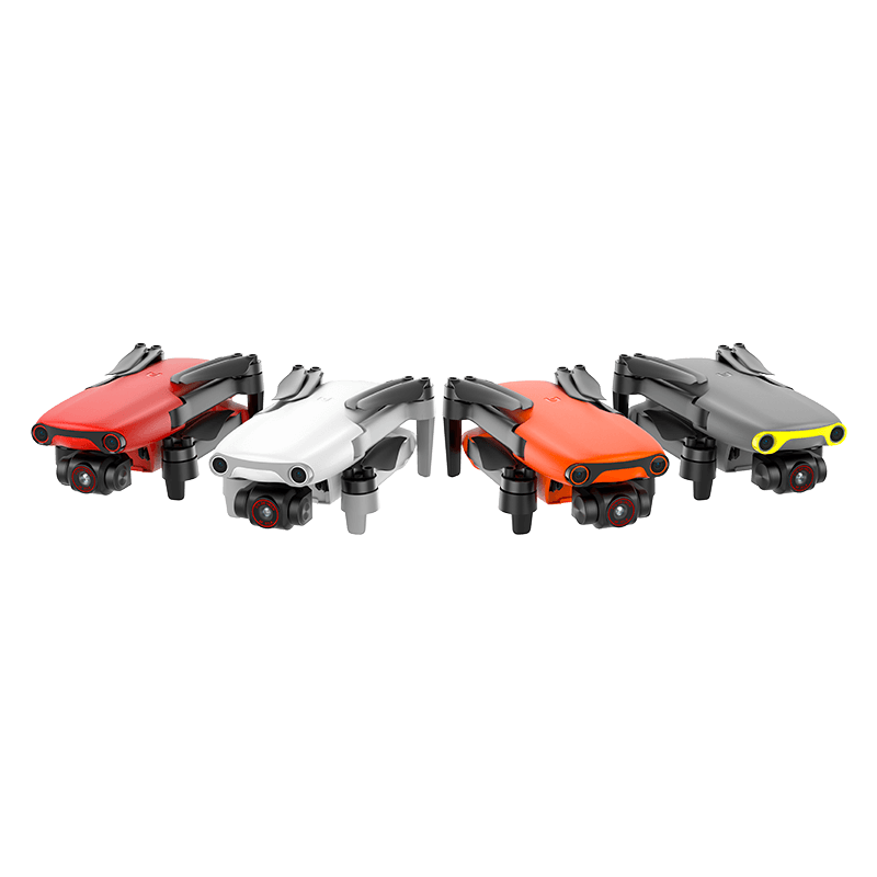
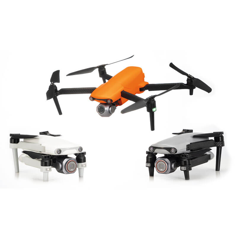
Autel EVO II Mission Planner for 3D Mapping and more industrial applications